
The traditional October-to-March pattern still holds — but it no longer tells the whole story. What homeowners in Buckinghamshire, Oxfordshire, Northamptonshire and Bedfordshire need to know about a flood risk that has fundamentally changed.
Published June 2026 · RISE Flood Recovery Consultancy
When people think about flooding in the UK, they tend to picture winter. Dark skies, swollen rivers, news footage of sandbags on doorsteps. And they are not entirely wrong. But the picture is more complicated — and more dangerous — than that seasonal assumption suggests.
The UK does have a traditional flood season. It runs roughly from October to March, driven by Atlantic storm systems, saturated ground, and river levels that build steadily through autumn. But the insurance and Environment Agency data of the past five years tells a different story. Surface water flooding — the flash flooding that comes from intense rainfall, not from rivers — now affects more than three times as many properties in England as river and sea flooding combined. And much of that risk concentrates in the warm-weather months, in the exact geography RISE serves.
For homeowners in Buckinghamshire, Oxfordshire, Northamptonshire and Bedfordshire, this matters enormously. There is no longer a safe season.
The winter half-year remains the dominant period for river flooding across England. Atlantic weather systems bring sustained rainfall across already saturated catchments. Soils that absorbed summer moisture have no capacity left. Rivers rise. Groundwater levels follow weeks later.
The named storm system introduced by the Met Office has made this pattern more visible to the public. The 2024/25 storm season alone produced seven named storms — Bert in November 2024, Darragh in December 2024, Éowyn in January 2025 among them — and the season closed with Storm Claudia in late 2025. Around 5,000 properties were reported as flooded during that twelve-month period, and the country experienced some of the wettest 18-month stretches on record between 2022 and 2024.
For fluvial flooding — flooding from rivers overtopping their banks — winter remains the dominant risk period. This is the type of flooding that affects properties in river valleys, low-lying villages, and areas with Victorian drainage infrastructure built for a different climate.
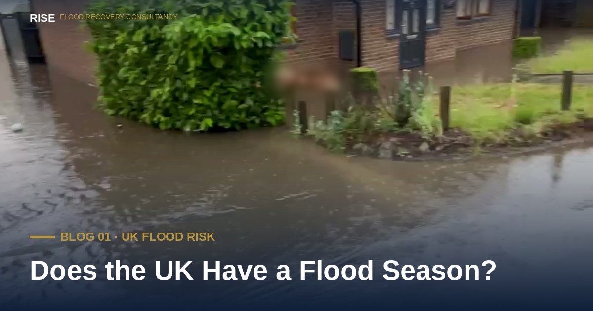
What has changed significantly in recent years is the frequency and severity of summer surface water flooding. Unlike river flooding, surface water flooding does not follow catchment geography. It follows topography, drainage capacity, and the speed at which rainfall falls.
A convective summer storm — the kind that builds over warm ground on a July afternoon — can dump a month's worth of rain in two hours. Drainage systems designed to handle sustained winter rainfall cannot cope. Roads become rivers. Underpasses flood. And in homes where the drainage infrastructure beneath the road was built in the 1800s, water finds the path of least resistance — through walls, under floors, and into living rooms.
The Environment Agency's national Flood Guidance Statements throughout summer 2025 repeatedly identified the South East, East of England and London as the regions most exposed to surface water flood risk from thunderstorms. That geography — the exact geography RISE serves — is now the most exposed part of the country to the fastest-growing type of UK flood risk.
In January 2025, the Environment Agency published a major update to the National Flood Risk Assessment, known as NaFRA2. The new assessment used higher-resolution modelling and the latest Met Office climate projections, and the headline figures it produced have substantially reshaped the picture of flood risk in England.
Under the previous assessment, 5.7 million English properties were considered at risk of flooding. The updated figure is 6.3 million — an increase of 600,000 properties added to the at-risk register. Of those, around 4.6 million properties are at risk from surface water flooding — three times the figure for rivers and sea combined.
Looking ahead, the Environment Agency now projects that one in four English properties will be in flood-risk areas by mid-century — approximately 8 million properties — driven primarily by climate change and increasing rainfall intensity.
In response, the Government announced a record £2.65 billion investment in flood and coastal erosion risk management in February 2025, intended to better protect 52,000 properties by March 2026. That is meaningful public investment. It is also a small fraction of the at-risk total.
*Updated 17 September 2026, 11:56 BST — The Environment Agency confirmed on 15 April 2026 that the two-year programme referenced above protected 61,898 properties from flooding — almost 10,000 more than the 52,000-property target it was measured against, across more than 250 completed projects. The point above still stands: even at nearly 62,000 properties protected, that is a small fraction of the roughly 6.3 million properties in England at some risk of flooding.
For the deeper case on why surface water flooding receives so little public investment and so little national attention — and what that gap means for homeowners caught inside it — see RISE's long-read, The Cinderella of Flooding.
The practical implication is this: there is no longer a safe season. A homeowner who relaxes after March and does not think about flooding again until October is operating on assumptions that the data no longer supports.
Flood preparation — knowing your risk, having a plan, understanding your insurance policy, knowing who to call — needs to be a year-round posture. Not a panic response when the sky turns dark.
And if your home does flood — in any month, from any source — the decisions made in the first 72 hours will define the quality and cost of your recovery. That is true in January and it is equally true in July.
Three concrete actions that take less than thirty minutes and which most homeowners have never completed:
Check your property's current flood risk. The Environment Agency's free "Check your long-term flood risk" service at check-for-flooding.service.gov.uk now uses the updated NaFRA2 data. Enter your postcode. Read the result. If you have not done this since January 2025, your property's official risk rating may have changed.
Read your home insurance policy — specifically the flood section. Look for: the policy excess if you claim for flood damage; whether surface water flooding is covered as standard; what your accommodation limit is if your home becomes uninhabitable; whether you are eligible for the Flood Re scheme and the Build Back Better scheme.
Save an emergency contact number. Floodline is 0345 988 1188, open 24 hours. For independent advice on a flood you are currently dealing with — or one you are trying to prevent — you can call RISE at any time on the number below.
Sources and further reading: Environment Agency National Assessment of Flood and Coastal Erosion Risk in England 2024 (NaFRA2); Environment Agency annual FCERM report 1 April 2024 to 31 March 2025; Met Office named storms registry 2024/25; HM Treasury announcement of £2.65 billion FCERM investment, February 2025.
No obligation. No jargon. By the end of the call you will have a clear view of your options — whether you engage RISE or not.
Call any time No callback RISE directly
Live data from the Environment Agency, refreshed every 15 minutes.
Help us focus future content
RISE is researching gaps in publicly available flood recovery information. If you have 90 seconds, your responses help us understand what homeowners actually struggle to find clear answers on — and shape what we write next.
Take the 90-second survey →