
RISE's work is based in Buckinghamshire, Oxfordshire, Northamptonshire and Bedfordshire — but the river catchments, chalk geology, and the Flood and Water Management Act 2010 that underpins a Section 19 investigation don't recognise those administrative lines. Here's what's happening just beyond our four core counties, and why it matters even if you're reading from inside them.
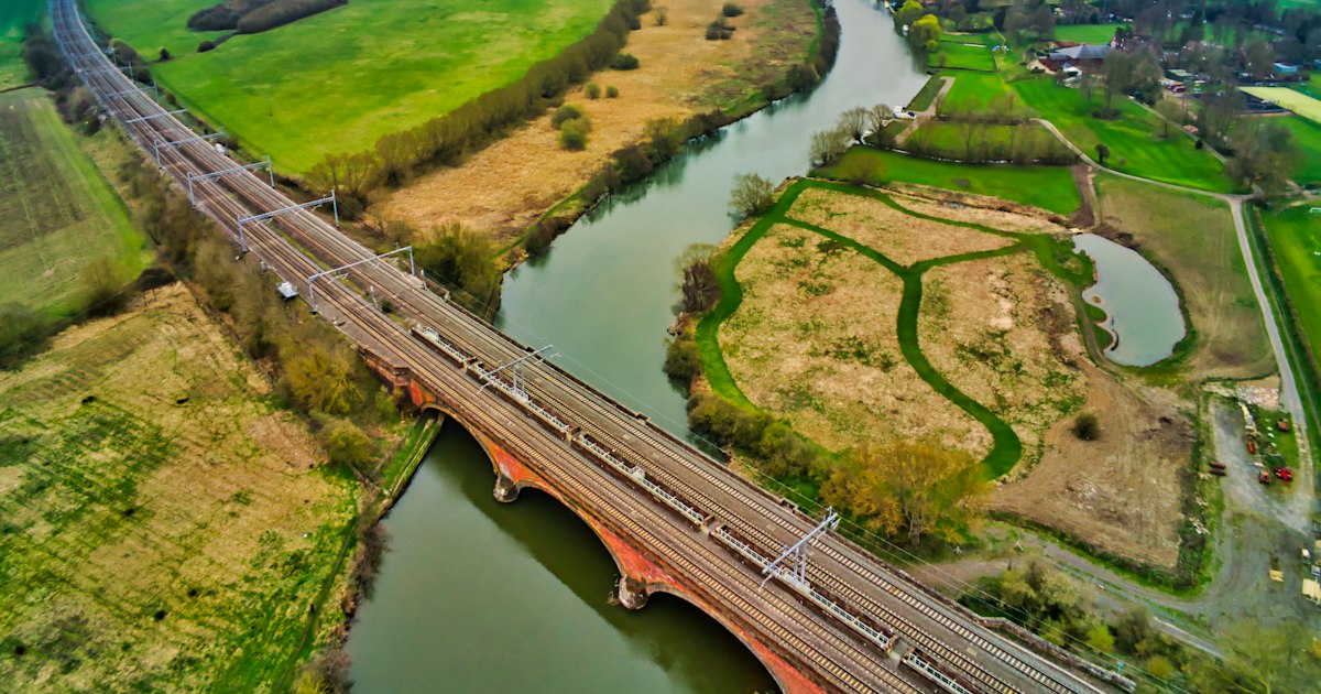
Photo: Lawrence Hookham / Unsplash (illustrative)
Published 28 September 2026 · A RISE update · 6–8 minute read · Updated 1 October 2026
Every county boundary we work within sits alongside another county with the same rivers and the same weather systems. The Great Ouse doesn't stop being the Great Ouse the moment it crosses from Buckinghamshire into Bedfordshire and beyond into Cambridgeshire. The Cherwell links Northamptonshire and Oxfordshire before it reaches the Thames. Flood risk, in other words, is a catchment problem before it's an administrative one.
County lines are not the only thing moving. Some counties are already split into several unitary councils (Northamptonshire has two Lead Local Flood Authorities, Bedfordshire three), and the government is reorganising others. In September 2026 it paused decisions in 14 areas for review. Whichever council is your Lead Local Flood Authority on the day you flood owns the Section 19 duty.
Section 19 of the Flood and Water Management Act 2010 is not specific to our four counties — it applies to every Lead Local Flood Authority in England. The same discretionary "necessary or appropriate" duty to investigate, the same publish-and-notify requirement once an investigation happens, and the same permissive (not compulsory) powers we've written about extensively apply whether your postcode sits in Buckingham or in a bordering county we don't yet formally serve. If you live just outside our core operating area and have been told "that's not really anyone's responsibility" after a flood, the legal reality is almost certainly more nuanced than that — the same as it would be inside our four counties.
To be direct about it: RISE's formal consultancy work is currently based in Buckinghamshire, Oxfordshire, Northamptonshire and Bedfordshire, and that's where we can commit to the depth of local council-specific knowledge that makes our Section 19 work effective. We're watching activity in the bordering counties above closely, and this article exists because the underlying flood risk, geology and legal framework genuinely don't stop at a county line — even where our formal service area, for now, does.
If you're inside our four core counties, the RISE Section 19 Case Assessment is available today. If you're just outside them and want to understand your own position under the same national law, get in touch — 07391 151719 — and we'll tell you honestly whether we're the right fit yet.
Sources: General UK river catchment and county geography; Flood and Water Management Act 2010 (national application, legislation.gov.uk); British Geological Survey Chalk aquifer mapping.
Live data from the Environment Agency, refreshed every 15 minutes.
No obligation. No jargon. By the end of the call you will have a clear view of your options — whether you engage RISE or not.
Call any time No callback RISE directly
Help us focus future content
RISE is researching gaps in publicly available flood recovery information. If you have 90 seconds, your responses help us understand what homeowners actually struggle to find clear answers on — and shape what we write next.
Take the 90-second survey →